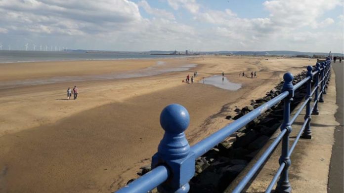
Free app launched to connect residents with coastal wildlife, heritage and immersive stories via with wrecks and places along the Tyne to Tees coast.
The SeaScapes Partnership has launched a new app and a new geology-based website called ‘Reading the Rocks’. The app will showcase the coast, its history and wildlife from the Tyne to the Tees. The Reading the Rocks website uses 3D tours, videos, diagrams and online resources, to enable you to take a walk on the coast and delve deep into the geological secrets of three beaches.
The SeaScapes Coastal App is available to download for free from your favourite app store.
And the new website is ready to explore at ReadingtheRocks.com. This is an interactive website, to give users a deeper exploration of three key geological locations – Seaham, Blast Beach and Blackhall Rocks. The site also details a wide range of free events and activities running across the Summer. The website includes expert dialogue in videos and shows where you can see different geological features on the three beaches and find out more about the amazing geological history of our Tyne to Tees coast.
SeaScapes is funded by the National Lottery Heritage Fund and the SeaScapes partners. The SeaScapes project is led by Durham County Council and consists of a consortium of partners who aim to encourage people to learn about and use the coast more.
SeaScapes project focus and main area of work is the England Coast Path running along the Tyne to Tees shore, covering an area up to six nautical miles out to sea. Characterised by unique magnesium limestone geology 250 million years in the making, and from industry to war, pre-history to the modern day, the heritage of this dynamic seascape is born from the sea.
SeaScapes Delivery Manager, Jenny Swainston, said: “We are continually seeking to educate and inspire local people from all walks of life so that they become custodians for this important area. Each year more people are connecting with our shorelines and oceans and by working with communities we can make sure that this vital habitat is not only protected but improved for both people and wildlife.”
“The launch of the app and website is a combined celebration of the people, places, and habitats along the coast between the Rivers Tyne and Tees. There is so much we already know about our coastline but the more we educate and teach people, the more we continue to learn and better protect the coast for the future.”
The King Charles III English Coast Path (KCIII ECP) is the main walking route down the coast from the River Tyne to the Tees. This coastal path now has new interpretation signs along the coast to enable visitors to know more about their surroundings. The SeaScapes Coastal app will enable visitors to learn more about different sites and about wrecks off the coast.
When the app is loaded onto a mobile phone, the app will ping the phone at key locations along the path. At each location, the initial screen will tell you about the place and its point of interest, from which you can do a deeper dive into more information.
It works in three modes. Journal, which allows you to log information about what you have seen and learnt along the coast; Map, the land side of the app; and Wrecks, the seaward side of the app which provides insight into wrecks off the coast. There is also an augmented reality feature which allows you to see the models of shipwrecks and place them into the camera view of your phone.
To download the app, visit your favourite app store and search for ‘Seascapes Coastal App’.
To visit the website go to: www.ReadingtheRocks.com
To find out more about SeaScapes, visit www.exploreseascapes.co.uk


